Ice Climbing -
Nauders - Tyrolean Oberland - Kaunertal
Der Gelbe Fluss - Kaunertal
Difficulty
WI 5
Sea Level
1600 - 1700 m
Route length
100 m
GPS Position / Ascent
All real-time data of the infrastructures can be found in the
fullscreen view of the interactive map
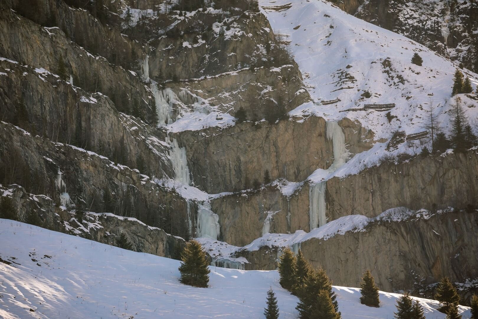
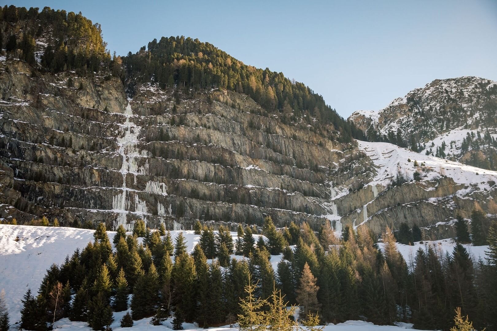
Small but impressive.
The short but crisp columns get up to 20 m high can be quite thrilling!
Approach: Versetz, first right-hand bend direction glacier - the parking lot in front of the gates ist mostly snow-free.
Ascent: Follow the light sloping road to the Approach (ca. 10 min)
Descent: Step out of the chute to the right ca. 30 m above the exit (climbing direction) and return to your card via the wide ridge.
Journey
Anreise per Auto:
Wenn Sie aus Norden kommen...
A7 Füssen/Garmisch - B 179 Fernpass - Imst A 12 - Landeck/Zams - Landecker Tunnel B 180 - Prutz - Kaunertal
Wenn Sie von Westen kommen...
Bregenz A14- Arlberg (Tunnel oder Pass) S16 - Landeck - Landecker Tunnel B 180 - Prutz - Kaunertal
Wenn Sie von Süden kommen...
Reschenpass - Nauders B180 - Pfunds - Prutz - Kaunertal
Wenn Sie von Osten kommen...
Wien - A12 - Innsbruck - Landeck/Zams - Landecker Tunnel - B 180 Prutz - Kaunertal
Parking
Versetz